
2. Make a Trip Plan
BEFORE THE TRIP
Now it’s time to match your terrain choice with the current conditions. If you have an Avaluator Card (which comes with an AST 1 course), this is the time to use it. Avalanche Canada also offers an online version. Using this card will give you an idea of which categories of terrain are appropriate. If you are going into a region that’s been rated with the Avalanche Terrain Exposure Scale (ATES), you can also use the online trip planner.
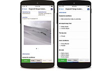
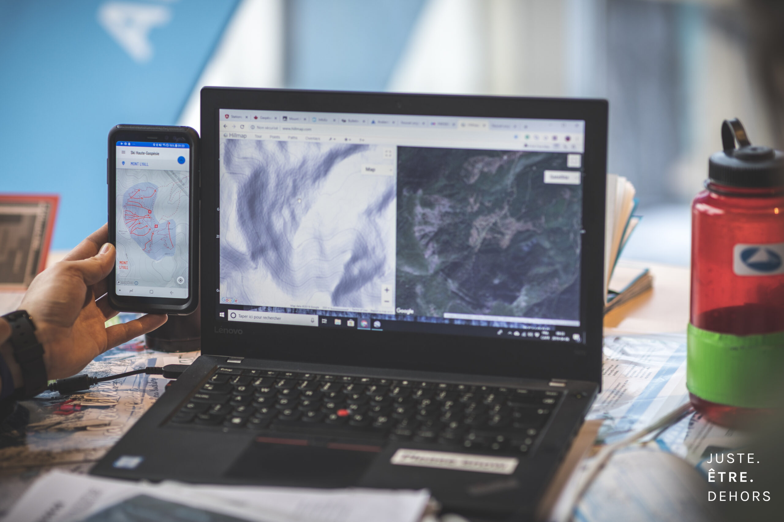
It’s also time to check the webcam, the snow report and data from our mountain weather stations for current conditions. Avalanche Québec website and the Ski Haute-Gaspésie mobile app offer a multitude of resources in the recommended chronological order of consultation, starting with the webcam.
Always have a Plan B! Sometimes, the conditions aren’t quite what you expect and your initial plan may prove unworkable. Your Plan B should be a safer route through simpler terrain.
Digging deeper: snow and weather resources
The Mountain Information Network (MIN)
For snow conditions, the Mountain Information Network is a great source of information. We encourage you to share your own observations to help out your fellow recreationists. There are also numerous social media pages where people share trip reports; find one for your region.
Weather forecasts
Our Alpine Weather Forecast offers a targeted forecast for the Chic-Chocs. For a visit to this region, we recommend you start there. Once you’ve got an idea of the conditions, check out the weather summary in the avalanche forecast, as well as the resources in the “Public Weather Forecasts” section of our Website. These include Environment Canada’s local forecast and the SpotWx site. SpotWx is a great place to look at the forecast for a specific area. It lets you pick a spot on the map, then look at the forecast from a number of different weather models. All these resources are available on the Ski Haute-Gaspésie mobile app.
The AvySavvy platform
Avalanche Canada’s AvySavvy platform also offers route choice exercises. They’ll test your ability to navigate avalanche terrain without taking the slightest risk!

Complete the daily process at
Each outing