

Brought to you by
THE BULLETINS ARE DONE FOR THE SEASON – BACK ON DECEMBER 1ST, 2026.
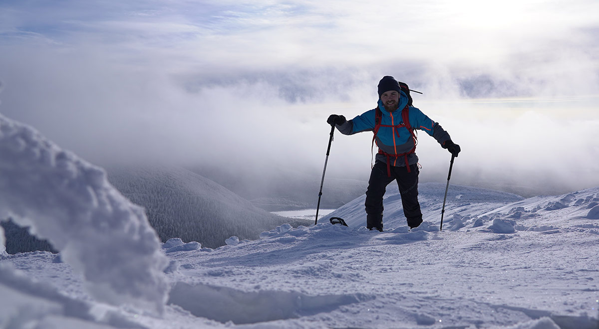
Stay safe in the mountains and enjoy spring skiing!
Melt-freeze conditions are common. Expect danger to be lower late at night and in the morning, followed by higher danger in the afternoon and evening. Danger is low when surface snow is frozen, but can rapidly increase to high as temperatures rise and the surface crust breaks down.
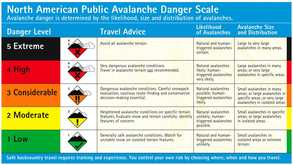
Danger ratings
Friday
Saturday
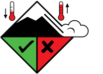
| Alpine | Spring Conditions |
| Treeline | Spring Conditions |
| Below Treeline | Spring Conditions |
Sunday
| Alpine | Spring Conditions |
| Treeline | Spring Conditions |
| Below Treeline | Spring Conditions |
Terrain and Travel Advice
Problems
No problems identified.
Snowpack Summary
In the spring, snowpack conditions vary depending on the weather. Various spring scenarios exist and are presented and explained in detail in the blog posts available on our website:
Scenario #1: Daily freeze-thaw cycle
Weather Summary
For the coming weeks, we encourage you to consult the recommended public weather resources when planning a mountain outing, which are available here.
Confidence
No Rating
For backcountry rescue call 911 and tell them you are in the Chic-Chocs ![]()


